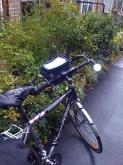
Grey Kettlewell

Grey Kettlewell

Originally uploaded by Dawnriser

First stop, a bus shelter in Kettlewell. Beautiful as ever but still
raining. The first stiff climb is out of here and over the Coverdale.
The smell of the dales is fantastic. The flowers, rain, grass and
farmyards all combine to tease my nose. Real fresh air. A quick drink
now and back into the rain. God is good.

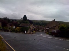
The journey starts

The journey starts

Originally uploaded by Dawnriser

A quick prayer and on this wet morning my adventure across the
Yorkshire Dales is about to begin. It’s rainy but looking bright.
I’m a little late because I had to make a detour into Harrogate to buy
a helmet. A lapse of memory left mine in York. So time to hit the
road on stage one out of Grassington. More later

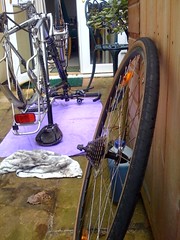
Preparing the bike

Preparing the bike

Originally uploaded by Dawnriser

This morning I’ve taken the bike apart, cleaned and oiled it in
preparation for the Yorkshire Dales next week.
It’s a dirty job of course, but the layer of old grease, oil and
general muck that had built up this summer has gone and bits that were
“gungy” are clean.
The bike is a Scott Roadster S1 frame and forks with S3 bits – due to
a partial upgrade when the frame started to corrode in the guarantee
period. It’s an alloy bike so pretty rigid. That’s what I like about
it. I can feel the road and every ounce of effort reaches the wheels.
No suspension or flexing frame to absorb the power in between.
The sponsorship total online is now £1116 and I received an email this
morning telling me about another £100 that had come to the Riding
Lights Office
. Thanks for your support.
Packing next.

I’ve flown the route

Call me a geek if you like, but I imported the route of my sponsored ride through the Yorkshire Dales, planned for next week, into Google Earth. So now I feel I’ve gained a whole new perspective on the roads I’ll be cycling to raise money for Riding Lights.

If you would like to fly with me click on the map below and then export it to a kml file. Double click the saved file and if you have Google Earth installed on your computer you see it traced out on the satellite image. Click play and start to fly. Watch the elevation read out under the map as you traverse the hills – just to gain some idea of where I’ll be feeling the pain. Click here to sponsor me